The Hutchinson Dam was originally constructed on the South Fork of the Crow River in Hutchinson in 1857.
The dam was constructed to create a reservoir for recreational and milling purposes, and has negligible flood reduction capabilities. It has been rebuilt and repaired a number of times. The majority of the previous Tainter gate structure was constructed after a major portion of the dam failed in 1965. Removal of the old dam began in the fall of 2007 and the current rock rapids design was completed in the spring of 2008.
The natural rock rapids design is a major improvement compared to the old dam. The dam is void of any valves or gates which eliminates the need for manual operation. Removal of the old Tainter gates also eliminates the downstream eddy effect. These two aspects make the rock rapids design safer than the old dam. The design will also handle the 100-year flood elevation better.
The first rock riffle of the dam is approximately 275 feet long. The first or western most riffle of the dam is slightly more than 6 feet in elevation higher than the last or eastern most riffle that is adjacent to the Highway 15 bridge.
310 large boulders make up the multiple riffles and fishing rocks.
7200 tons of basketball size rocks make up the dams bed under the boulders.
5000 tons of rock less than 6” in diameter fill in the voids between boulders and between riffles.
The rock rapids design also allows for fish passage. It makes it possible for fish to naturally restock themselves from both upstream and downstream waters. Multiple species of fish can be seen traversing the pools.
The City has worked diligently to reduce the potential for flooding in the City by purchasing and relocating properties in the flood plain, and enforcing protective ordinances to control new construction.
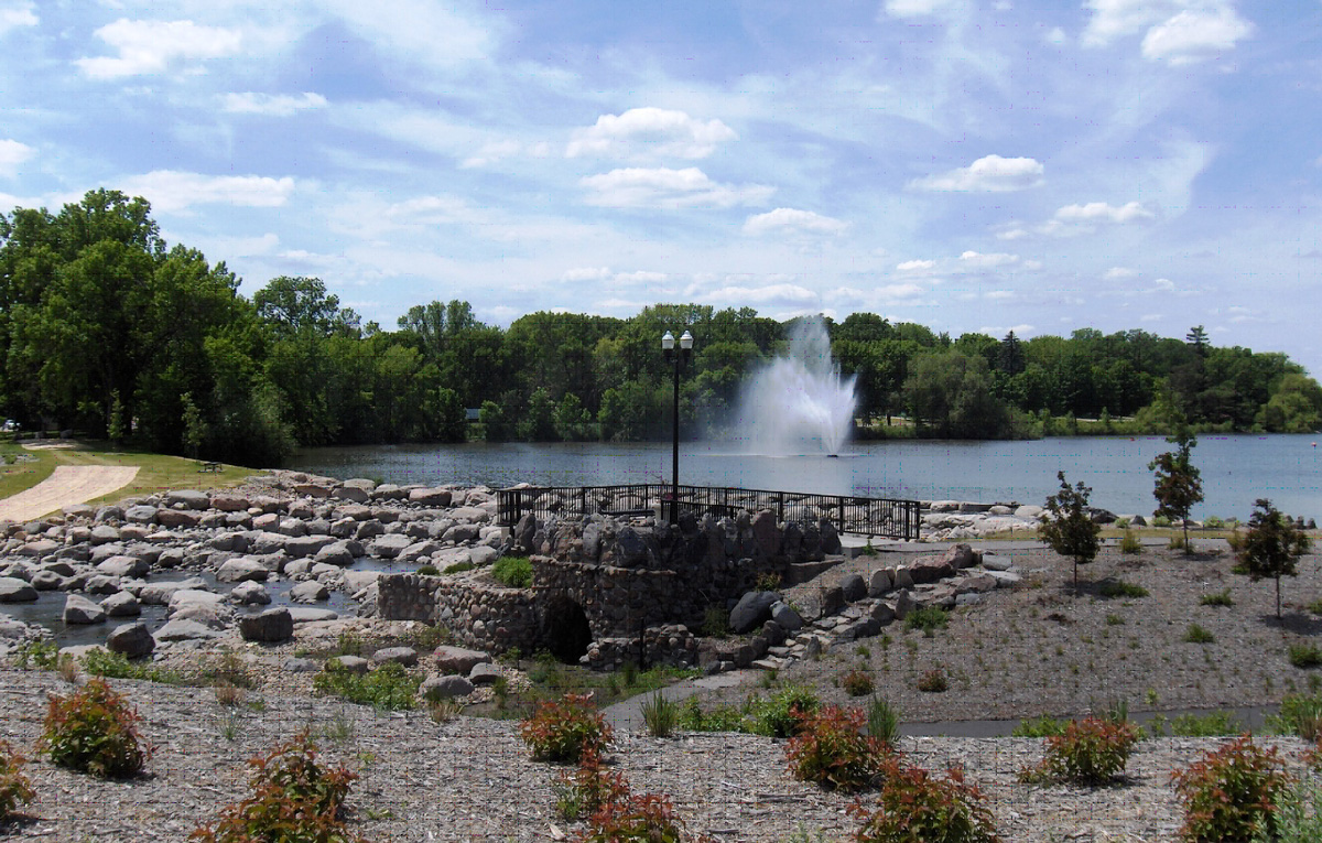
Crow River Dam 2009
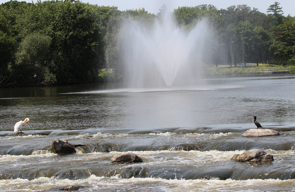
Crow River Dam 2014

Otter Lake/Campbell Lake Reservoir Information
- Drainage Area: 460 square miles (area extends west and north to Willmar)
- Reservoir Area: Approximately 650 acres (1 square mile) at elevation 1039.00
Estimated Peak Flows
Date of Crest
13 April 1965
2 May 1997
10 April 1952
16 March 2010
26 June 1993
11 April 1969
25 April 2001
23 April 1957
13 June 2018
28 September 2010
13 April 2023
6 October 2017
4 July 1997
9 April 2001
10 May 1993
14 August 2016
15 May 2022
27 June 2002
19 June 1990
12 April 1951
27 March 1948
Peak Discharge (cfs)
4,700
3,400
3,150
3,000
3,000
2,950
2,900
2,900
2,860
2,810
2,800
2,750
2,700
2,580
2,270
1,960
1,890
1,730
1,720
1,620
1,520
Recorded peak flows over 1,500 cfs.
Data from 1967 to 1990 is incomplete.